 ramakaterra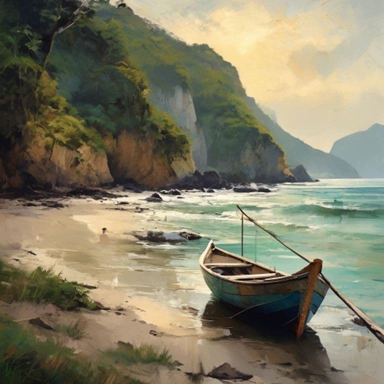
The Beach Named "Bad Land"
Did you know that one of the beaches Forbes once ranked among the ten most beautiful in the world is officially named "bad land"?
That's not a nickname or a joke. Mal País — the little fishing village at the southern tip of the Nicoya Peninsula, just up the coast from Cabuya and the Cabo Blanco reserve — translates literally as "bad country" or "bad land." The name is older than any of the surf camps and yoga studios that now cluster around it, and it was meant sincerely. This was, by the reckoning of the people who first tried to settle it, not good land.
The reason is written into the seasons. Southern Nicoya runs on two of them — a green wet half of the year and a hard brown dry half — and in the dry months the small rivers and streams that thread down to the coast here simply stop. They dry up entirely. For a farmer or a rancher trying to water animals and crops through the long rainless stretch, that made the place genuinely difficult to live on. Beautiful, yes. But "bad land" for the work of staying alive on it. So that's what they called it.
Here's the part that isn't ordinary.
The exact quality that made Mal País a hard place to farm is the quality that, generations later, made it worth a fortune. The rocky coves, the steep jungle-covered hills tumbling straight down to white sand, the long uninterrupted Pacific swell — none of that helps you grow anything or water a herd. But it turns out to be almost a perfect recipe for a surf coast. The same stubborn, sun-baked, half-dry land nobody wanted became, within a single lifetime, some of the most sought-after beachfront in Central America.
You can watch the whole reversal happen in living memory. Well into the 1990s this was a quiet coast of small fishing and cattle-farming families — the sort of place where, by local accounts, the whole area was once a single large holding that the government later divided up among the families who worked it, families whose descendants still carry the founding names today. There was no electricity here until the mid-1990s. Let that sit for a moment: a place that now runs on espresso machines and Wi-Fi and night-lit surf bars did not have grid power thirty years ago.
Then the surfers found it. Word spread — slowly at first, along the informal grapevine that surfers have always used to trade the location of good, empty waves — and by the early 2000s outside investors had noticed too. In 2006 Forbes named the beaches of Mal País and neighboring Santa Teresa "one of the ten most beautiful in the world," and the quiet was over. What had been a cattle coast with a few hundred residents became a bohemian surf magnet drawing travelers from across Latin America, North America, Europe, and Israel.
The roads tell the story as honestly as anything. For most of this transformation, getting here meant a long haul over unpaved, famously dusty track — dust that coated everything and became a real point of friction as the town grew. Paving of the central strip only arrived in recent years; older residents still remember when the "main road" was rutted dirt and the dry-season dust hung over everything.
And here's the quiet honesty at the bottom of it all: the two villages didn't converge. Mal País stayed itself. While Santa Teresa grew into the buzzing hub, Mal País — just to the south — kept its working fishing port, where local boats still go out and come back the way they have for generations. It is still, in the plainest sense, a fishing village that happens to sit next to a boom. The "bad land" is still working land. It just found a second life nobody who named it could have imagined.
So the next time you see a place with an unlovely, blunt, discouraging name, it's worth a second look. Sometimes a name is a warning left by people who wanted something the land refused to give — and the land was simply waiting, quietly, for someone to want something else.
Made using AI. This is a research-based post, not a first-hand account. Some local-history details (the single-holding origin, exact dates of early development) come from community and regional accounts and are noted as such rather than stated as settled record.
Sources
Sources verified live (2026-07-30):
- "Mal País" meaning ("bad land" — the rivers and streams dry up in the summer season, making it hard to live on), origin as a fishing and cattle-farming village, and the 2006 Forbes "ten most beautiful beaches in the world" ranking of Mal País and Santa Teresa: Malpais, Costa Rica — Wikipedia
- Santa Teresa's origin as a remote fishing / agriculture / cattle-ranching village, its later shift to tourism, and its visitors (from Costa Rica, Latin America, USA/Canada, Europe, Israel): Santa Teresa, Costa Rica — Wikipedia
- No electricity in the area until the mid-1990s; government division of the territory among the founding families that became the town's pioneers; economy historically built on cattle farming, agriculture and fishing: A History of Santa Teresa — Casa Teresa
- Mal País still an active fishing village with a working fishing port, retaining its quieter local character while neighboring Santa Teresa grew into a major destination; its location up the coast from the Cabo Blanco reserve: Mal Pais, Costa Rica — Mytanfeet
- Historically unpaved, dusty roads as a defining feature of the area, with paving of the central Santa Teresa strip arriving only in recent years: History in the Making for Santa Teresa: A Paved Road — Langston Realty